Historical aerial photography
Aerial photography is one of the many tools scientist can use to monitor forest extent, composition, phenology, and configuration. During the 1950’s, this technique was used extensively throughout the Congo Bassin, giving birth to a unique database, a snapshot of the state of the Congolese forests, more than 60 years in the past. This wonderful yet analog dataset is of a great interest to the COBECORE team, as it provides the general context of the other eco-physiological and climate data gathered by the team.
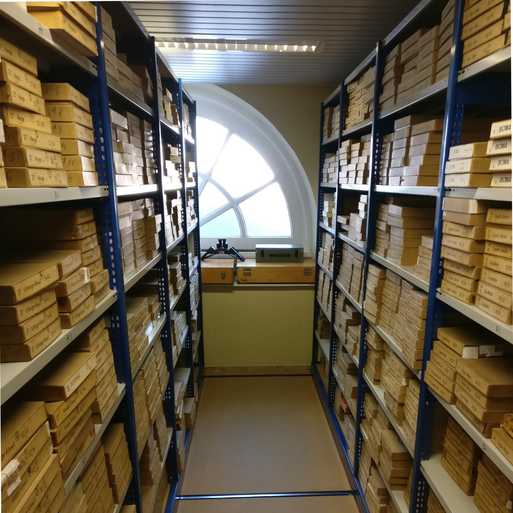 |
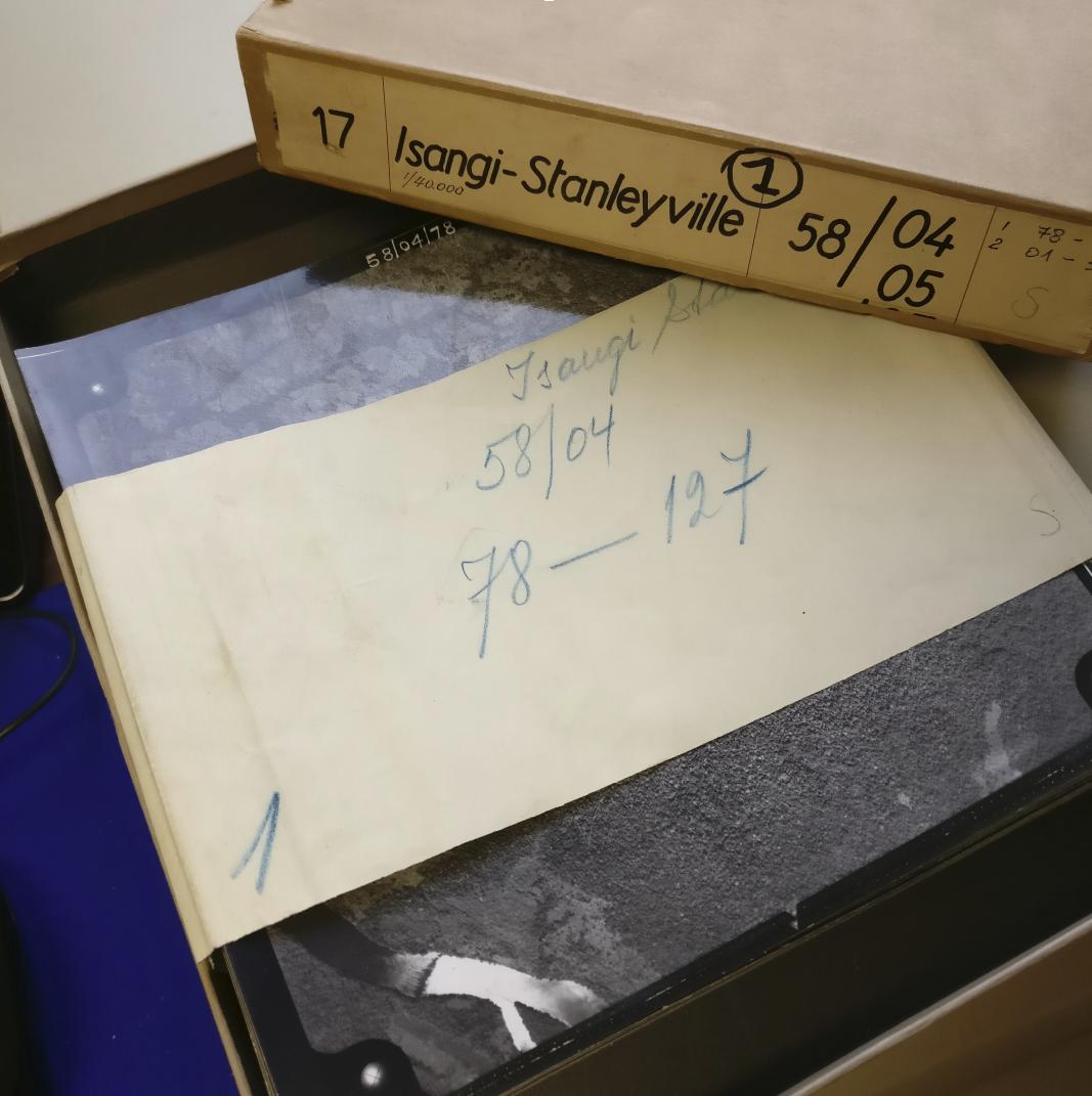
The bulk of this exciting database is kept in the Royal Museum for Central Africa (RMCA) in Tervuren, in the form of hundreds of boxes of aerial photographs of the Congo forests. The data takes the form of multiple square pictures, each taken along a precise flight plan. While some of the images were already digitalized at a low resolution by the RMCA, we aimed to produce higher resolution scans, in order to maintain the quality of the data throughout digitalization, and enable detailed image analysis (such as textural analysis) on a later stage. In order to do so, we set the resolution of the scan slightly above the grain of the photographs and, through trials and error, 2400 dpi was accepted as the minimum necessary resolution.
The scanning process thus begins, with a first milestone in mind: the digitalisation of the aerial photographs of Yangambi reserve, from 1958-59. This zone covers roughly 5 000 km2 of tropical forest and is the location of many eco-physiological and climate data collections involved in the COBECORE project.
 |
BLOG
digitization remote_sensing aerial_photography