Exploring the State Archives
During the COBECORE project the climatological component will mainly draw from the collections of the INEAC (l’Insitut National pour l’Etude Agronomique du Congo belge). Although the collection is listed as INEAC data it contains data from other sources as well. In particular the climatological data is sourced form either1:
- INEAC
- The colonial weather service
- Airports
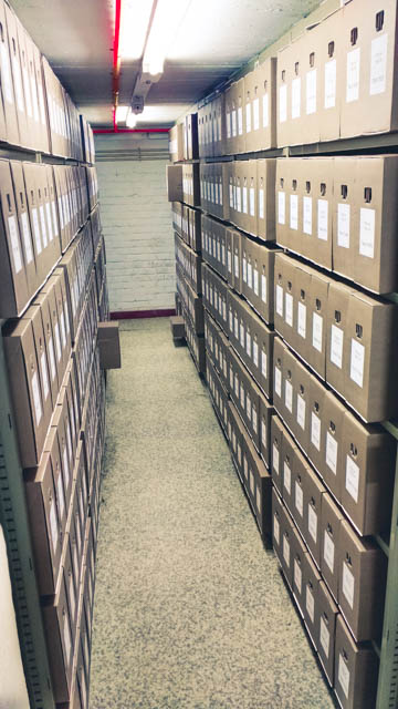
The INEAC collection are stored in the State Archive, neatly tucked away and indexed (by Guy Coppieters) in boxes in the basement. These data comprise roughly 3 corridors as depicted below (Fig. 1). A significant portion of these cardboard boxes contain climatological data (everything between the two pulled away boxes!).
 |
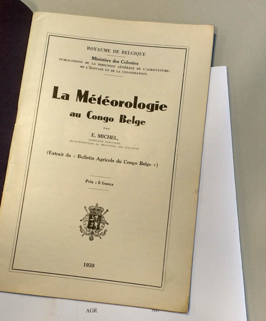
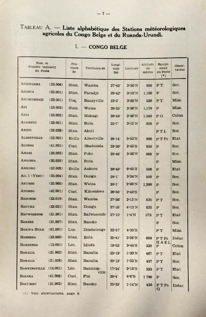
Going through the archives and exploring some of the initial documents, in order to gain an understanding of what documents are valuable and which are not, some luck came our way. By chance and with some educated guesses using the Dutch index of the archive we managed to hit upon the original protocol (Fig. 2) of the measurements made, the setup used and the locations of stations across the basin (Fig. 3).
 |
An important issue with legacy data is establishing the measurement protocol in order to compare the data wiht current methodologies and correct for biases where possible. Establishing the exact protocol and the locations of the stations is therefor of the utmost importance to the COBECORE project.
 |
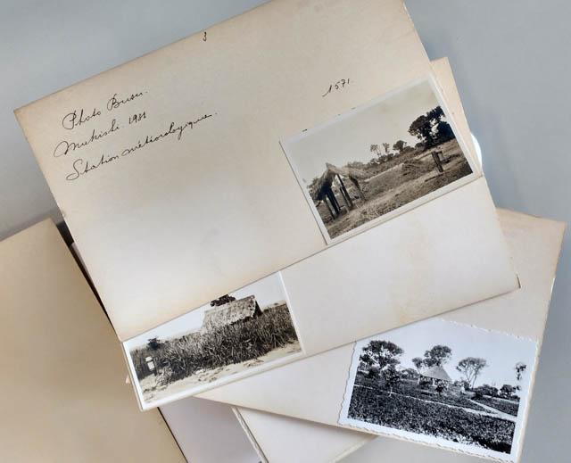
To our great joy, not only did the documentation include station locations and the measurements made it. A folder down the corridor also included detailed pictures of several of the stations used in both day to day observations and intense micro-meteorological research campaigns (Fig. 4).
 |
1J.M. Henry (1989). Floribert JURION et l’Insitut National pour l’Etude Agronomique du Congo belge. Science Historiques. Ann. Vol. 9.
BLOG
pre-processing climate_data
